Rachel's Remnants Bring Sunday's Peak Flood Risk to the Laguna Beach Coast
Post-tropical Rachel makes its closest pass overnight with a coastal flood warning through Sunday afternoon and 8-foot water levels possible at the morning high tide.
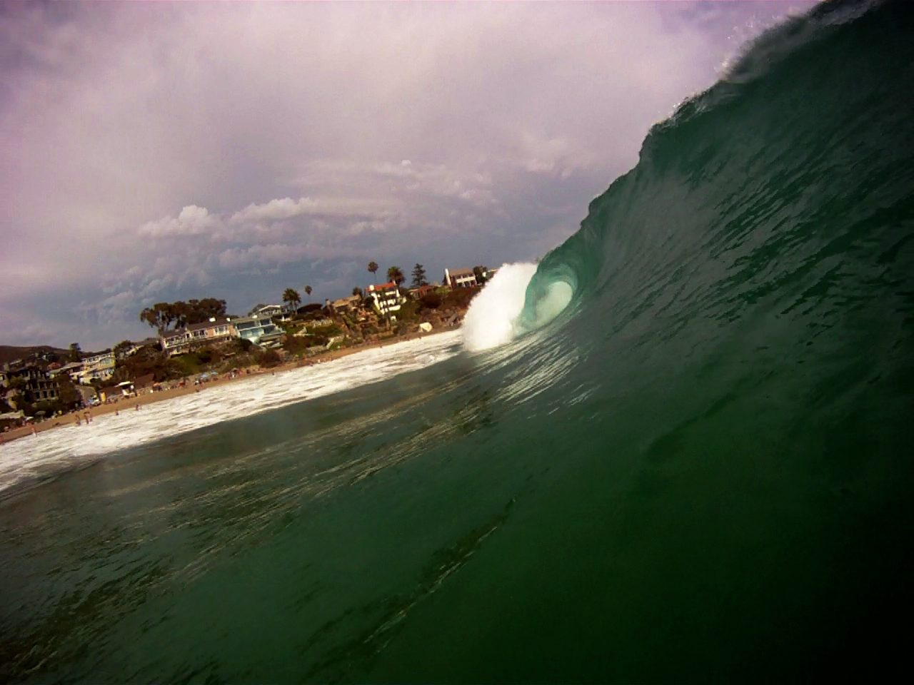
Post-tropical storm Rachel spent Saturday bearing down on the Southern California coast, and forecasters say today will be the most dangerous day of the episode for beachfront flooding.
Rachel was reclassified from a tropical storm to a post-tropical cyclone as it crept toward the Baja California coast. At 8 p.m. Saturday it sat about 190 miles south of San Diego and was expected to make landfall south of the U.S.-Mexico border overnight, according to Saturday night reporting. An earlier tropical storm watch for the state was only the second such alert on record, underlining how unusual Rachel's approach is for California.
The National Weather Service issued a coastal flood warning for Southern California beaches through 3 p.m. Sunday, followed by a coastal flood advisory from Sunday afternoon through 2 p.m. Tuesday. A high surf advisory runs from 6 a.m. to 10 p.m. Sunday. The service warned that "damaging sea-water coastal flooding is likely through Sunday, especially near the Sunday morning high tide where anticipated tide levels are expected to be around 8 feet," with vulnerable south-facing beaches most at risk.
The Sunday morning high tide arrives around 9:45 a.m., with water levels potentially reaching 7.5 to 8 feet in vulnerable areas if low pressure and onshore winds materialize near high tide. High surf of 5 to 8 feet is expected, with locally higher sets, as energy from Rachel combines with southern hemisphere swells, northwest swells and local wind swell. The barometer could drop as low as 995 millibars as Rachel passes south of Ensenada.
The damage is already mounting up and down the coast. In Long Beach, eight structures were red-tagged and one yellow-tagged after waves crashed into beachfront homes Saturday, and a mandatory evacuation order covered a few Seaside Walk homes Friday, followed by a wider warning Saturday. Newport Beach closed the Newport Pier, Balboa Pier and the Wedge, and the city declared a local emergency Friday after seawater poured across the Balboa Peninsula, stranding vehicles and damaging homes and businesses.
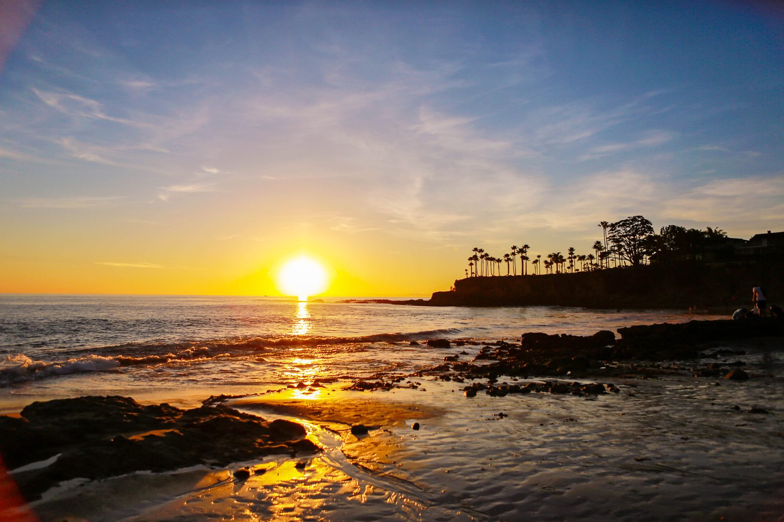
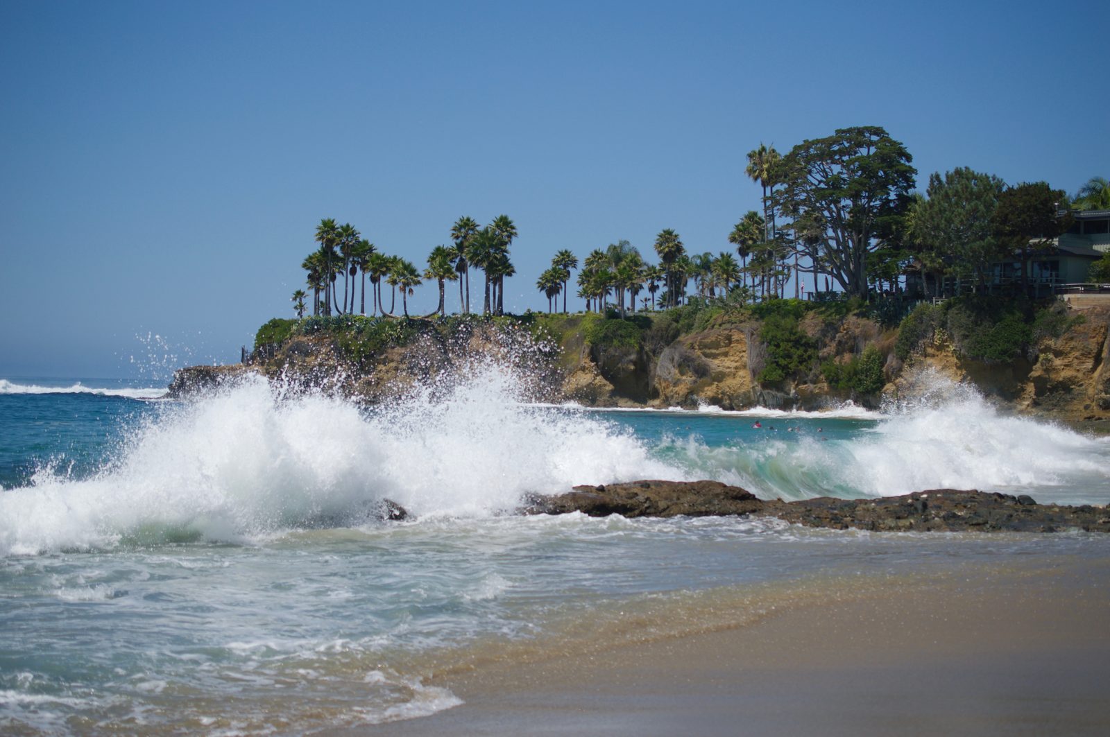
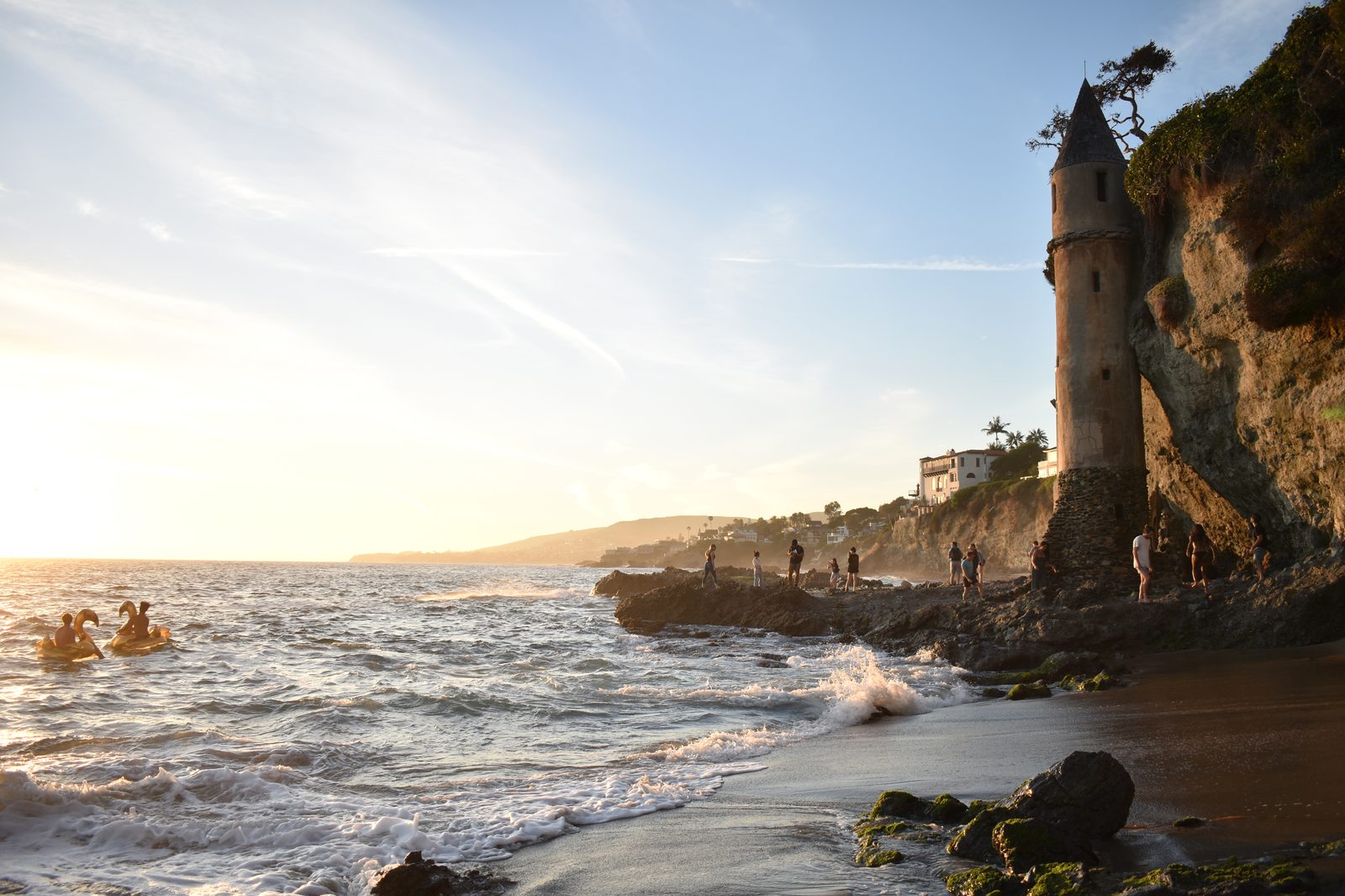
Laguna Beach has already felt the episode's force. On Thursday, waves arrived about two feet higher than expected with surf around five feet, and minor flooding was reported around Pacific Coast Highway. On Friday, the city closed the Aliso Beach parking lot after waves carried cement benches and trash cans into it, and shut traffic near Broadway Street and South Coast Highway. Public works crews used heavy equipment to move sand at Main Beach ahead of the high tides.
City Manager Dave Kiff has warned the city may be at the start of an extended stretch of ocean battering. "This could be the first of 16 days of [these ocean conditions], so there is potential for more damage," he said earlier in the episode.
Rain is also arriving. Moisture drawn northward by the low-pressure system brought periods of light to moderate rain beginning Saturday evening, and forecasters warn of continued coastal flooding and elevated surf into at least early next week.
We correct errors promptly and note them here. Send corrections through our contact form (choose the Correction topic).