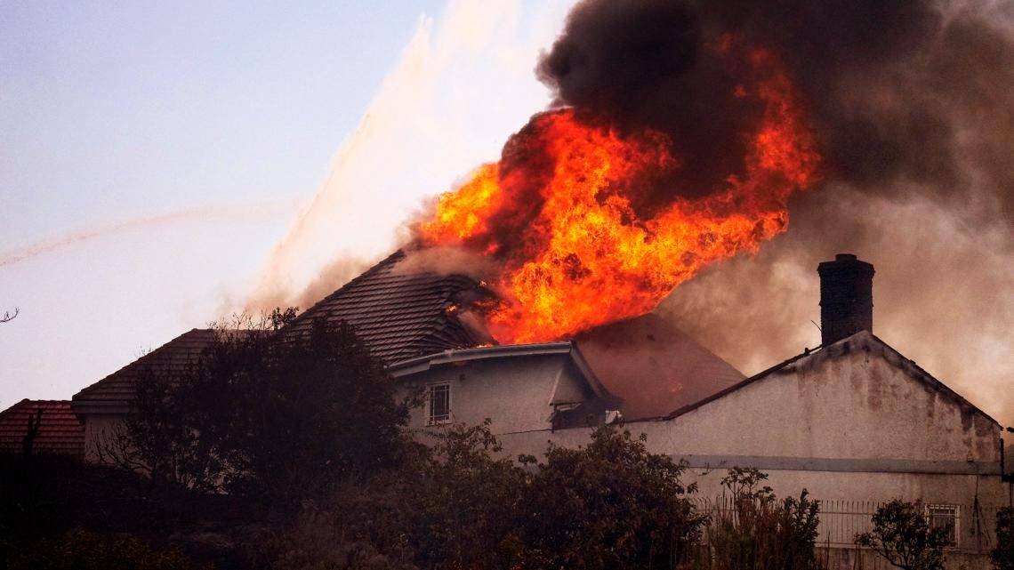
Norte Fire Evacuations Lifted as Containment Reaches 25 Percent in San Clemente and San Juan Capistrano
Officials lifted the evacuation orders for about 16,000 residents at 6 p.m. Saturday as the fire held at 570 acres, leaving one San Juan Capistrano road closed and the burn scar shut while crews stay on the line for days.
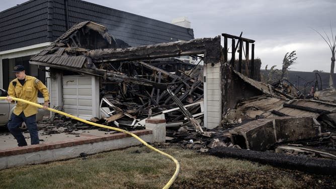
Evacuation orders for San Clemente and San Juan Capistrano were lifted effective 6 p.m. on Saturday, clearing about 16,000 residents to return home as firefighters raised containment of the Norte Fire to 25 percent and held the fire at 570 acres, Cal Fire said in a 6:21 p.m. update. The Associated Press reported that most evacuation orders were rescinded Saturday evening, with a single San Clemente street the exception. Two closures remain: Via La Mirada will remain closed north of Esperanza to vehicle traffic to allow emergency crews to continue working, and the burn scar remains an active fire hazard area and is closed until further notice, Cal Fire said. As of Sunday morning the fire was still at 570 acres and 25 percent contained, Fox Weather reported.
The return came in stages through Saturday. Crews worked throughout the night to attack the fire and strengthen containment lines, and by 8:07 a.m. the fire was 5 percent contained, up from zero percent on Friday night, Cal Fire said. At 12:10 p.m. the evacuation zone SJC10 was split into zones SJC10-A and SJC10-B, and at 12:18 p.m. orders were lifted for SJC10-B and for San Clemente zone SCL13, while the remaining zones stayed under orders, threatened by an active fire line and windy conditions, with a heat advisory also in effect. On Saturday afternoon the Orange County Fire Authority said all residents could return home in the San Clemente zones, while in San Juan Capistrano just residents in the Stallion Ridge community could return, the New York Post reported.
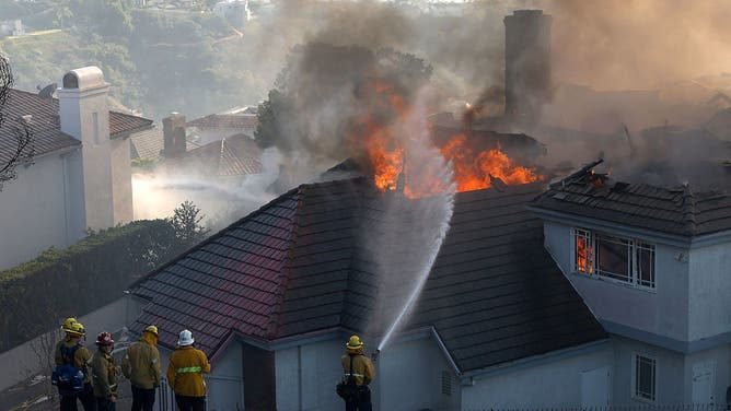
The damage count did not change on Saturday. Six homes were damaged or destroyed, the figure Cal Fire carried in its morning update and the figure the fire authority confirmed, and the cause of the fire remains under investigation. The fire started at 11:33 a.m. on Friday near Portico Del Norte and Eminencia Del Norte in San Clemente, Cal Fire said, and the Orange County Fire Authority is the agency with jurisdiction over the incident. "The wind was relentless," Fire Authority Chief TJ McGovern said. Fire officials said adding staff ahead of the worst of the winds helped mitigate some of the fire spread, Fox Weather reported.
Two firefighters were taken to area hospitals with heat related injuries on Friday. One of the hospitalized firefighters had been released by Saturday and the other was doing "very good," Capt. Steve Concialdi said, according to CBS Los Angeles reporting carried by multiple outlets. No civilians were reported injured.
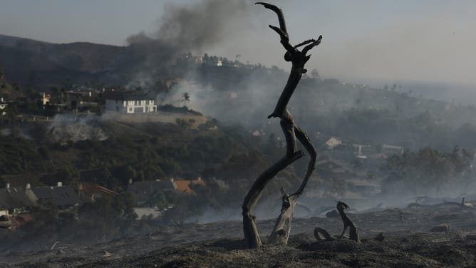
Concialdi told reporters on Saturday morning that he expected containment to increase "dramatically" throughout the day. The crews staying on the fire after residents return will be watching for new starts from embers, the risk Concialdi raised on Friday. "We're going to be here for a number of days," Concialdi said on Friday. "We don't want those embers to then catch a palm tree or some vegetation in another area or next to homes." The Norte Fire is one of about 10 wildfires that have not been contained in California, according to the state Department of Forestry and Fire Protection. In Malibu, the Bryson Fire held at 147 acres and was 52 percent contained on Saturday.
For Laguna Beach, no evacuation order was issued; every zone Cal Fire listed was in San Clemente or San Juan Capistrano, and the fire weather that drove the Norte Fire eased over the weekend. The heat advisory for the Orange County and San Diego County coasts remained in effect until 8 p.m. Saturday, the National Weather Service said. The FOX Forecast Center said the winds began to subside early Saturday after first arriving Thursday, and that "Saturday, winds may remain gusty during the day, but should ease into the evening hours." The forecast for Laguna Beach on Sunday is sunny with a high of 80 degrees, and the cooling continues into the week before rain arrives: showers are likely on Wednesday, with thunderstorms possible Wednesday night and Thursday morning.
We correct errors promptly and note them here. Send corrections through our contact form (choose the Correction topic).